About Mount Desert Island, Maine
A Bit of History
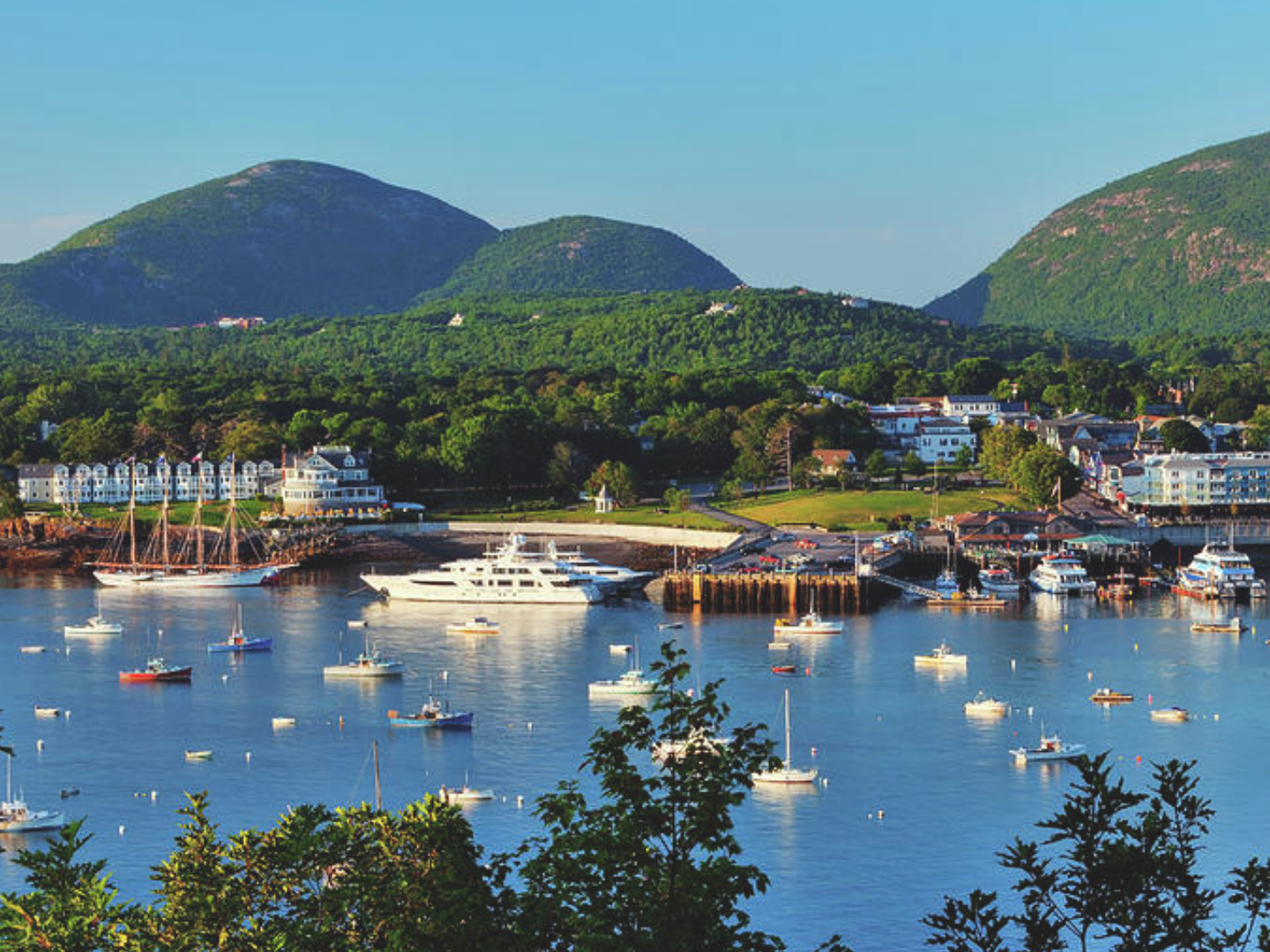
Mount Desert Island, off the coast of Maine, is widely known as the home of Acadia National Park and the town of Bar Harbor. If we viewed the island from the air (a look at the Acadia map will do), we would notice north- and south-aligned gouges scooped out of the land as if by a very large hand. Indeed, in this case, the hand was that of a huge, slow-moving, continental glacier over a mile high… two miles thick in some places.
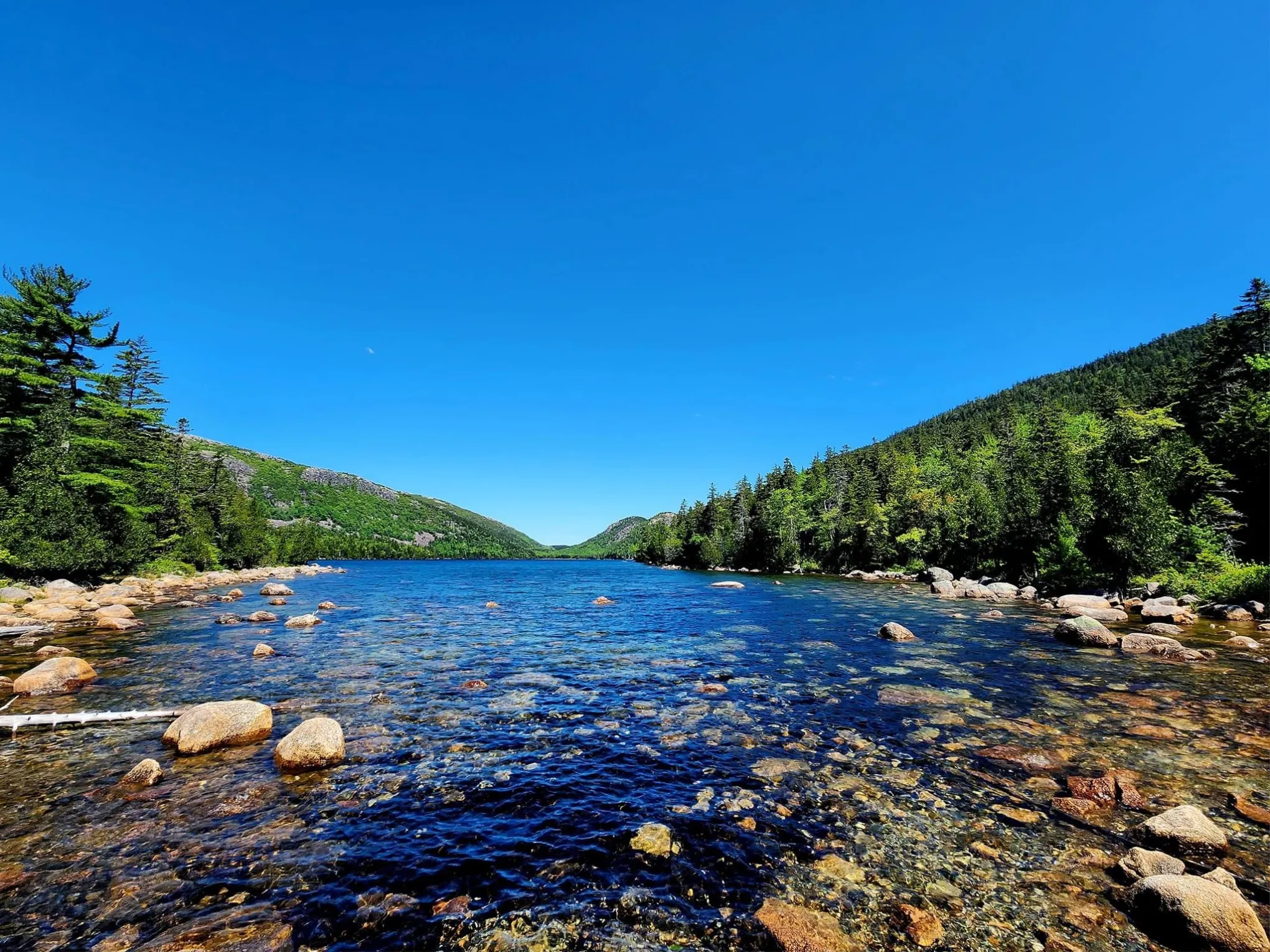
When this giant glacier finally melted and retreated, it left rounded and bare mountain tops, long lakes, many boulders, and the seven-mile-long Somes Sound – the only fjord on the east coast of the United States. A good place to see the impact that these glaciers had on the shape of the islands is Sheep Porcupine Island.
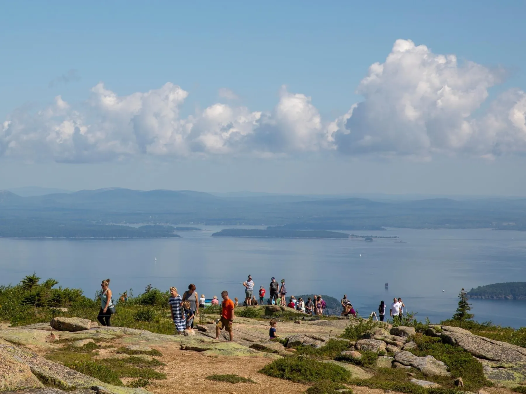
Elsewhere on MDI is the massive Cadillac Mountain. Even after being sheared off by the glaciers, it remains the highest point along the North Atlantic Seaboard at 1,532 feet above sea level, and provides spectacular panoramic views of Acadia National Park, Bar Harbor, Mount Desert Island, and other islands.
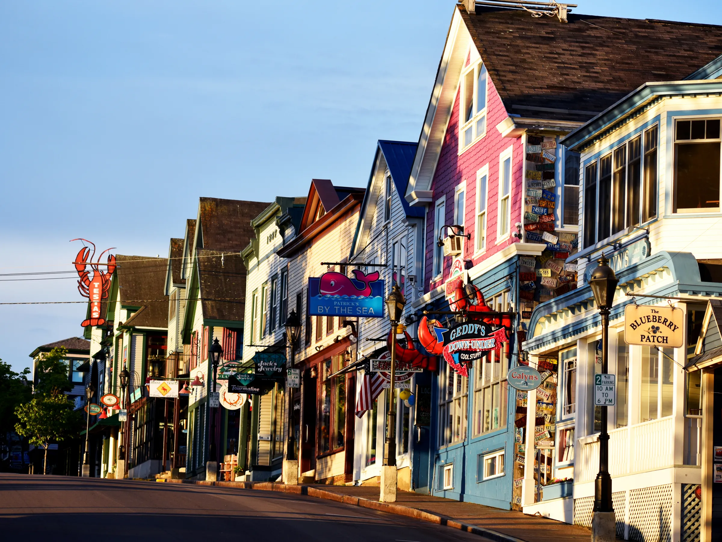
There are many people who are surprised to hear that there are actually only four official townships on the island. They are Bar Harbor, Mount Desert, Southwest Harbor, and Tremont. Bar Harbor encompasses the sections of Eden (once the original name for Bar Harbor), Hulls Cove, Salisbury Cove, and Town Hill.
Mount Desert, although having no official “center,” consists of Hall Quarry, Northeast Harbor, Otter Creek, Seal Harbor, and Somesville. With Southwest Harbor comes Manset and Seawall. Bass Harbor, Bernard, Seal Cove, and West Tremont are part of the town of Tremont.


